Deshmukh Infra Solutions LLP
Powered by LiDAR M400 L3 – Delivering 1–5 cm Accuracy for Government, EPC, Industrial & Survey Projects
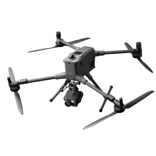
The LiDAR M400 L3 is a high-precision aerial laser scanning system mounted on a professional-grade drone.
It emits laser pulses to measure the exact distance between the drone and surface objects, producing millimetre-level accurate 3D terrain data.
Think of it as a flying 3D scanner capable of mapping:
Even in areas where normal drone cameras fail, LiDAR captures every hidden detail.
Every survey includes professionally prepared engineering-grade deliverables:


LiDAR is the only reliable choice for government-approved & engineering-level surveys.
✔ Equipped with LiDAR M400 L3
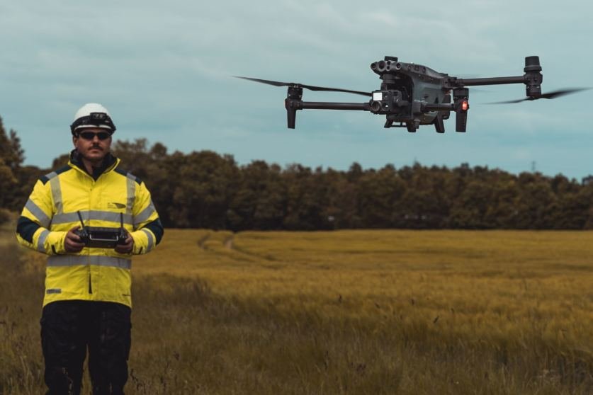
✔ Trained pilots & survey engineers
✔ Fast project turnaround
✔ Detailed, accurate, professional reports
✔ Experience in infra & land projects
✔ Affordable for real estate, industries & govt tenders
✔ DGCA-compliant flight operations
Get high-accuracy survey data for planning, monitoring, compliance, and large-scale infrastructure execution.
Accelerate project timelines with precision measurements, progress tracking, and error-free site planning.
Optimize layouts, expansions, and safety planning with detailed aerial mapping and structural insights.
Plan, design, and market your projects better with accurate topography, 3D models, and site feasibility data.
Ensure compliant extraction with volumetric assessments, boundary mapping, and real-time production tracking.
Monitor crops, analyze vegetation, map forest densities, and track land use with high-resolution drone insights.
Enhance accuracy and efficiency with LiDAR-grade data inputs for mapping, overlays, and geospatial datasets.
Build smarter cities with detailed terrain models, utility mapping, corridor planning, and land-use analytics.
We’ll help you identify the perfect LiDAR-based survey solution for your project.
Serving all over Maharashtra, Karnataka, Gujarat, Madhya Pradesh, Telangana and more
Accuracy was beyond expectations. The LiDAR data helped us plan a highway alignment in record time.
Our mining volume audits became 10x faster and more accurate. Outstanding work
Disclaimer
Deshmukh Infra Solutions LLP is an independent service provider and is not directly affiliated with Meta (Facebook/Instagram), Google, or any of their associated platforms. Any advertising references are for service representation purposes only. All logos and brand names are property of their respective owners.
© 2025 Deshmukh Infra Solutions LLP. All rights reserved.